
The KAP Project
Project Overview
- The KAP Property is 100% owned by Integral Metals Corp., located in the Mackenzie Mountains, Northwest Territories, covering 7,500 hectares
- Accessible via plane and helicopter from logistical hubs in Fort Simpson, Wrigley, and Norman Wells.
- Hosts Mississippi Valley Type (MVT) carbonate-hosted zinc-gallium-germanium mineralization within the Recrystallized Zone of the Landry Formation.
- 2024-25 exploration at the Main Showing has confirmed the association of gallium and germanium with sphalerite-hosted mineralization, expanded soil sampling coverage beyond the core area, developed preliminary 3D geological models, and commenced diamond drilling to validate core intercepts and test extensions of mineralization
Project Location
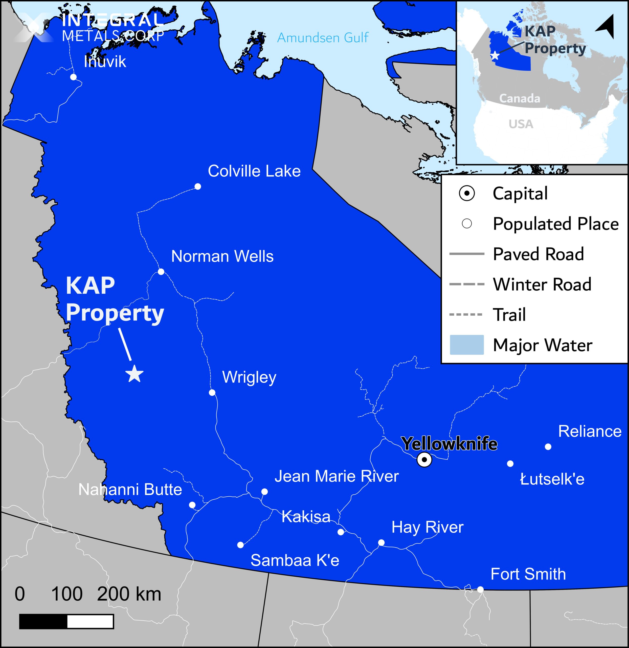
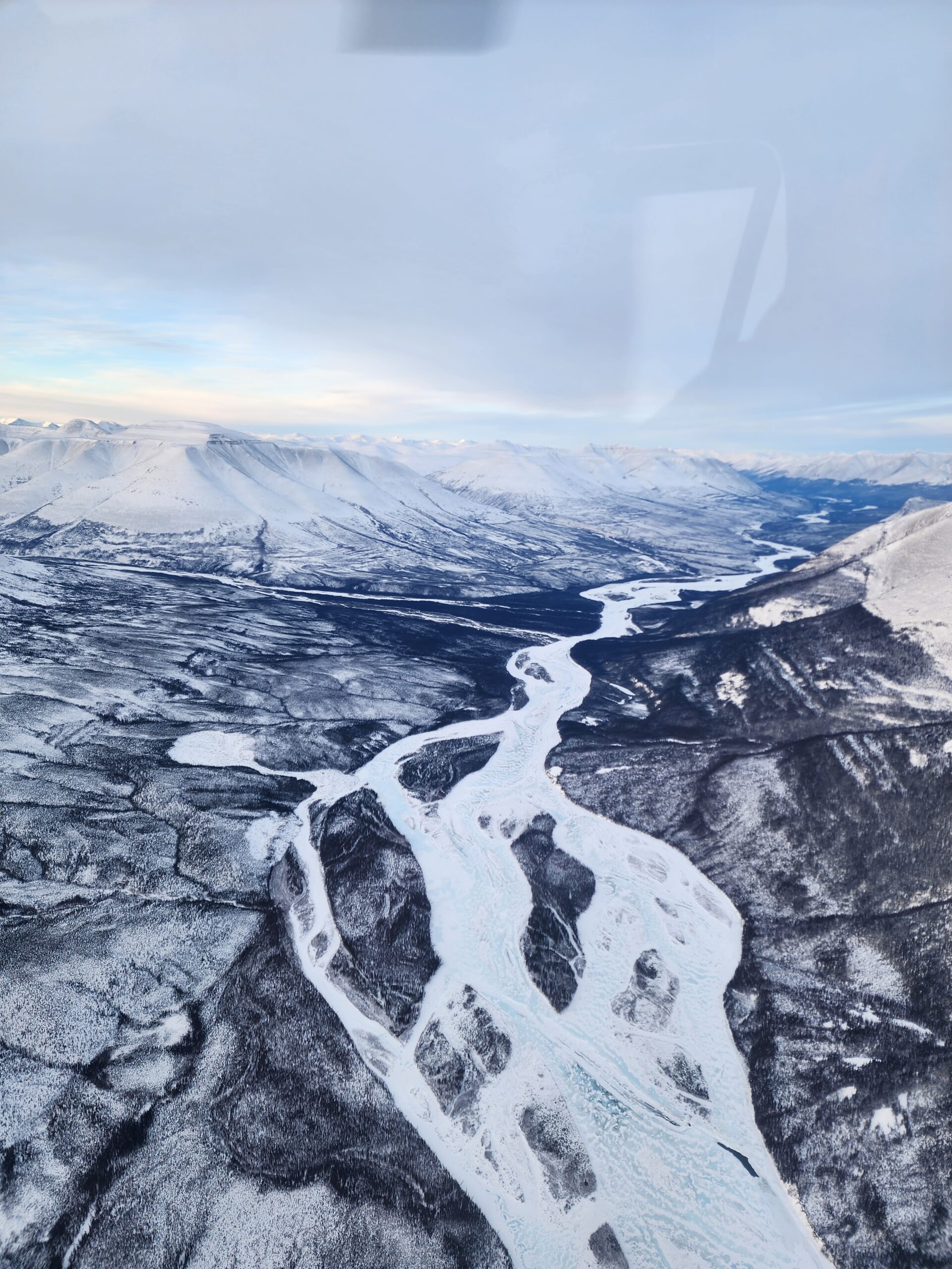
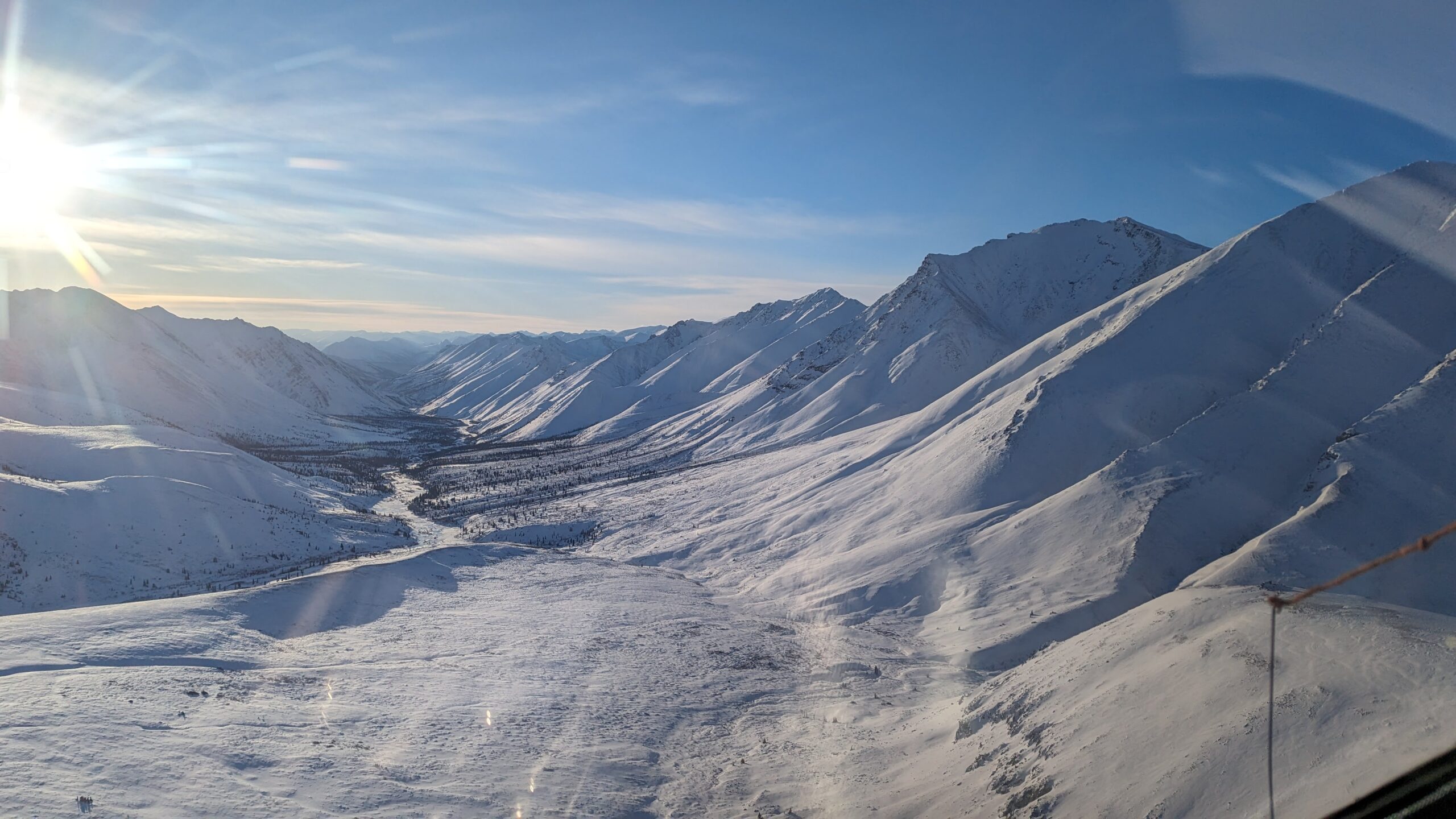
- The KAP Property is located in the Mackenzie Mountains, approximately 160 kilometers west of Wrigley and 220 kilometers south of Norman Wells.
- The Property feature six 1,250 hectare claims on NTS map sheets 95M06 and 95M07, that were staked on February 8, 2024, and are 100% owned by Integral Metals Corp.
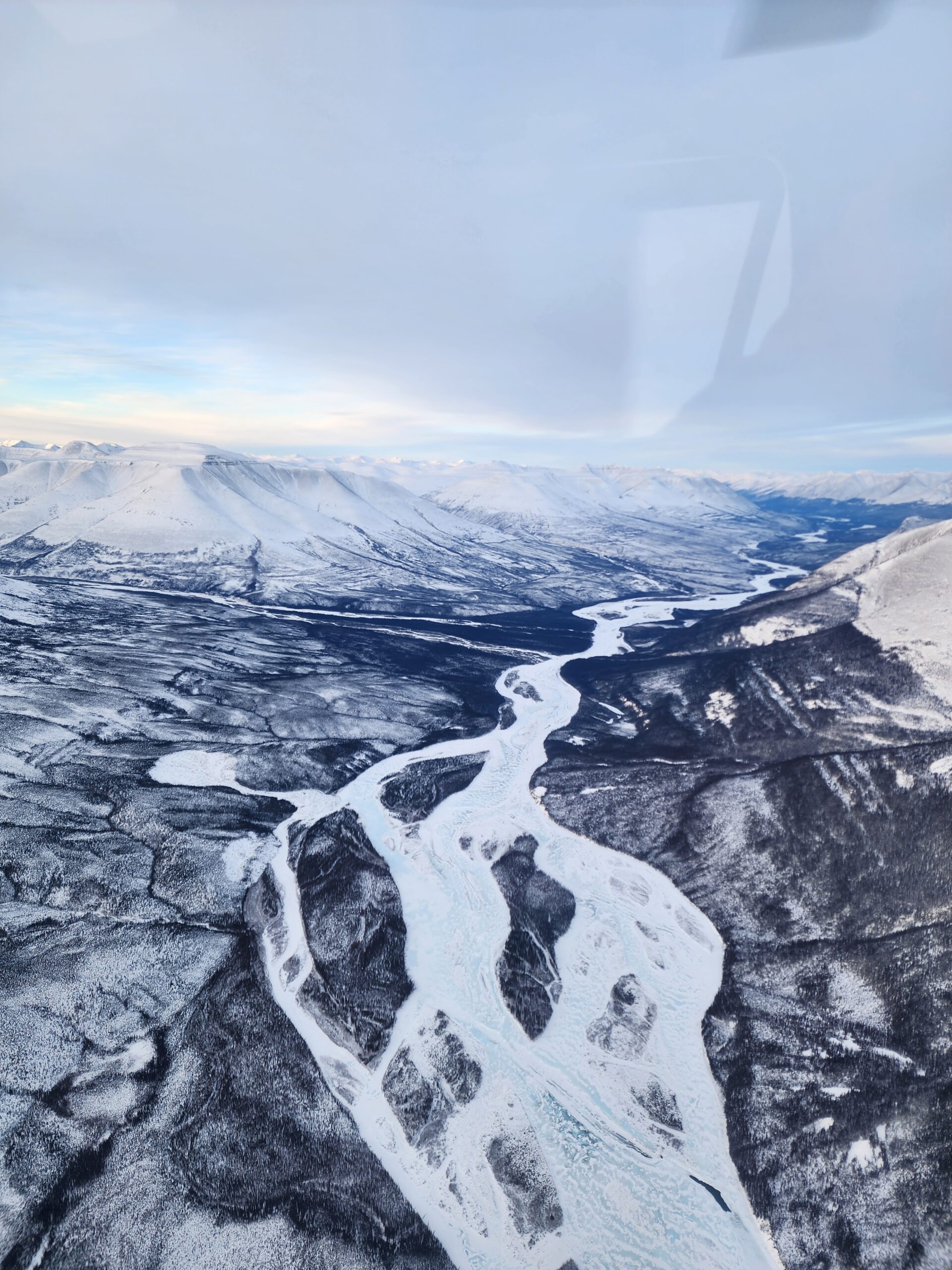
- Accessible primarily by helicopter on-site, and float-plane to the nearby Dal Lake. Potential for future winter road access along the Redstone River valley.
- The region's infrastructure includes logistical support from Norman Wells, Tulita, and Wrigley.
Project Geology
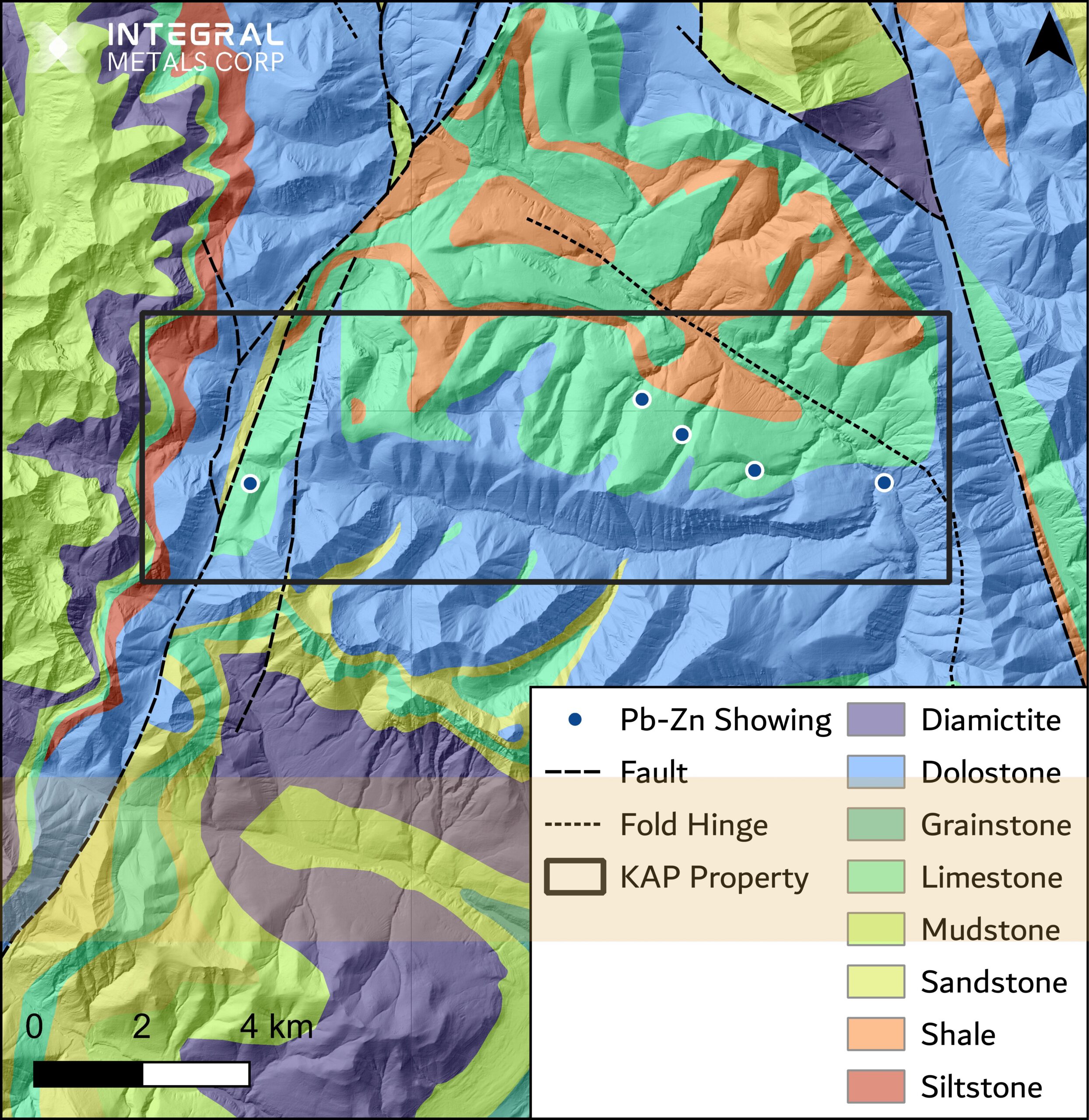
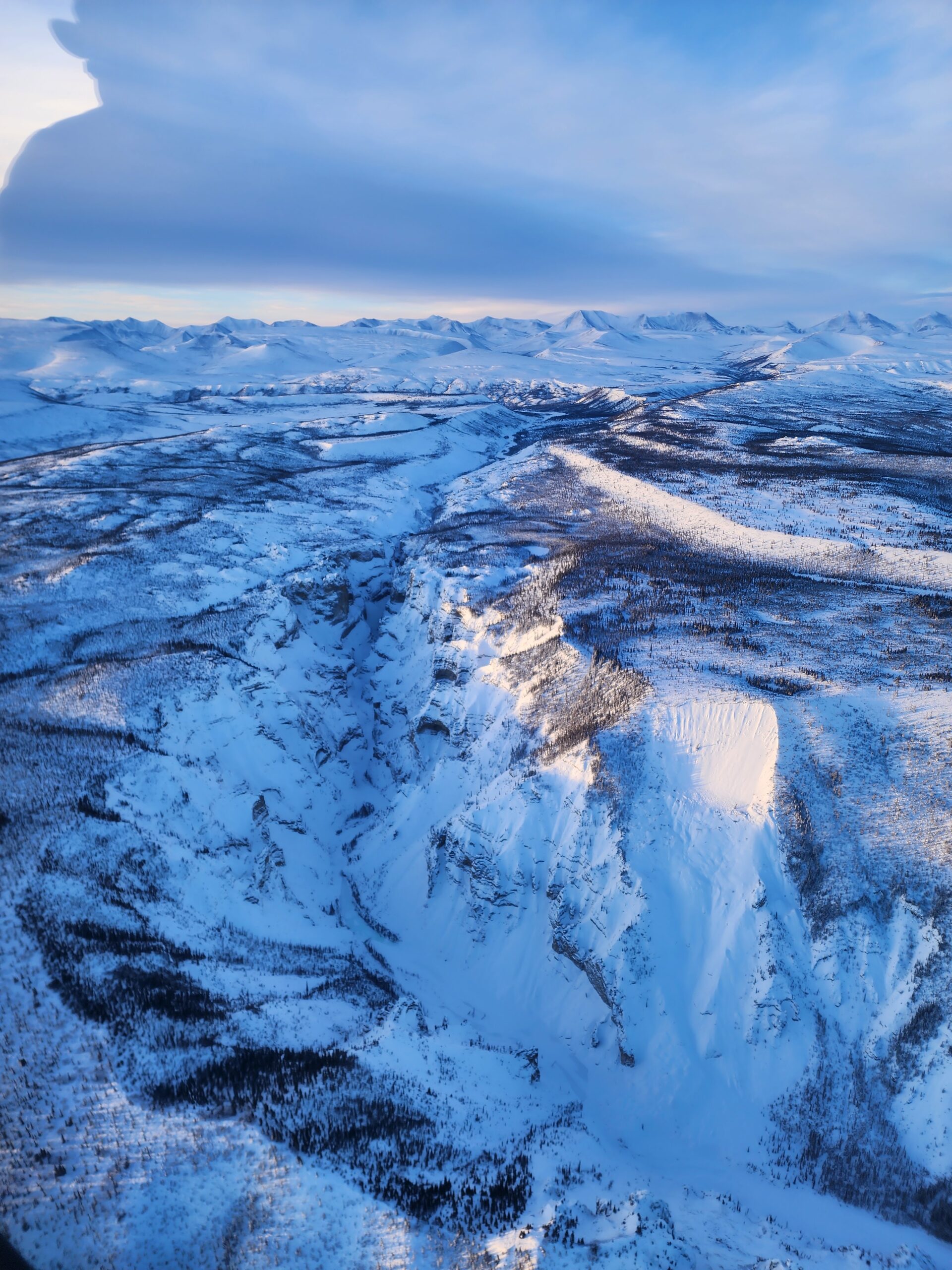
The KAP Property is situated in the Mackenzie Fold Belt, part of the Cordilleran Orogenic Zone.
The geological framework includes Paleozoic supracrustal sediments and significant carbonate-hosted mineralization.
The Arnica and Landry Formations dominate the local geology, with the Recrystallized Zone hosting the primary mineralization.
Extensive granular dolomitization and euhedral quartz needle silicification are key features of the Recrystallized Zone.
The geological setting is characterized by broad, gentle anticlines and synclines with low-angle thrust faults and normal block faulting.
Mineralization
- Mineralization is predominantly hosted within the Recrystallized Zone of the Landry Formation.
- The primary minerals are sphalerite (ZnS) and galena (PbS). Gallium (Ga) and germanium (Ge) were found to occur in notable concentrations with the zinc-bearing sphalerite.
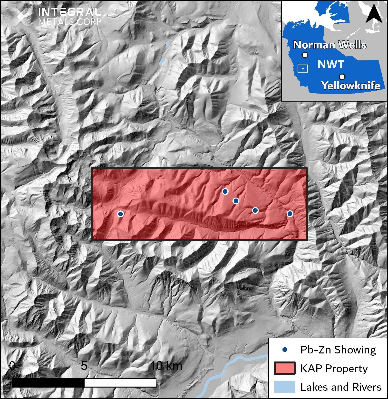
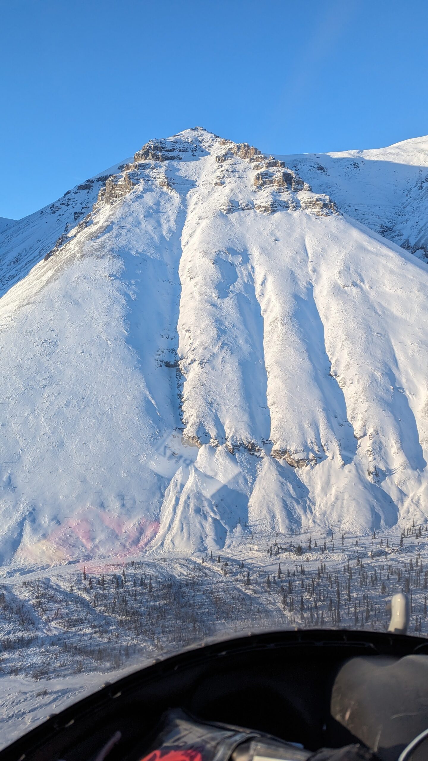
- Known mineral showings include disseminated and massive sphalerite and galena over a 12 km x 3 km area.
- The mineralization is stratabound, associated with collapse breccias and secondary porosity in the carbonate host rocks.
- High potential for additional blind mineralization exists beneath plateau areas, indicated by known mineral showings.
*Averaged across 9 samples taken by Equinox Resources (1986)
Historical Work
Historical work identified multiple mineral showings and significant mineralization trends.
1975: Cominco Ltd. performed a regional exploration program
- Geological mapping, sampling, trenching, and drilling.
1996: Firesteel Resources Inc. performed geophysical surveying and diamond drilling
- Extended the gravity survey coverage to the northwest and southeast
- Thirteen drill holes re-tested some of the 1976 holes; tested two of the gravity anomalies; and stepped out from the Main Showing
2024: The 2024 exploration program by Integral involved digitizing and modeling historical data, confirming historical mineralization.
- Select historical drill holes and gravity surveys were re-analyzed, providing valuable insights for future exploration.
- Historical drilling confirmed consistent mineralization in the Main showing area, with substantial potential for high-grade zinc within a collapse breccia unit.
2025 Drill Program
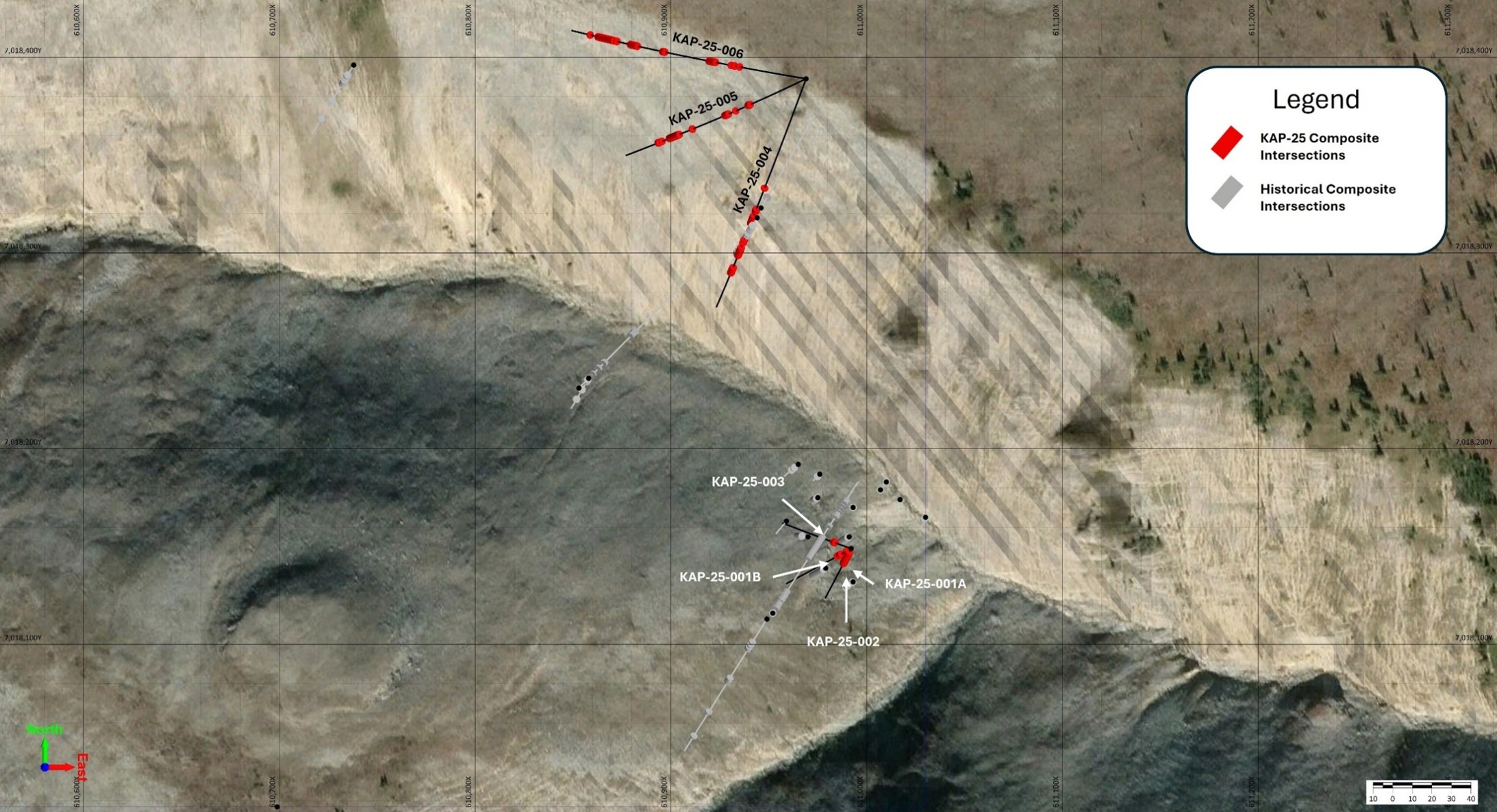
High-grade zinc confirmed at surface: Hole KAP-25-001B intersected 17.72% Zn, 228 ppm Ga and 294 ppm Ge over 5.60 m, including a standout core of 28.26% Zn, 362 ppm Ga and 473 ppm Ge over 3.45 m in the Central Zone.
Broadest interval expands the North Zone: Hole KAP-25-006, the furthest step-out, returned 8.28% Zn, 61 ppm Ga and 80 ppm Ge over 16.15 m — one of the widest zinc-gallium-germanium intervals drilled to date, with mineralization remaining open along trend.
Critical-metal co-enrichment throughout: Gallium and germanium — both on North America’s critical minerals lists — occur consistently alongside zinc in sphalerite across the system, offering rare combined exposure to all three metals.
Mineralization extended ~240 m north-northwest: Step-out drilling (holes KAP-25-004 through 006) confirmed and enlarged the collapse breccia corridor well beyond historical hole F96-05, demonstrating the system continues beneath the plateau.
Historical grades verified and upgraded: All seven holes (843 m total) successfully reproduced the high-grade zinc mineralization documented in historical work, supporting an emerging hybrid MVT / Carbonate Replacement Deposit model with strong exploration upside.
Future Work
Upcoming work on the KAP Property
2026-Q3: Drilling Program on the Main showing
- The objective of the program is to delineate the outer edges of the Main showing, and test for connectivity with the adjacent Steep Creek showing.
2026-Q4: Assay Results and Geological Modelling
- Receive the assay results from the drilling program and update the project drill hole database.
2027-Q1: Mineralogical Study
- Select representative samples for preliminary mineralogical analysis.
2027-Q2: Update Geological Model
- Integrate all the recent data into an updated geological model for the Main showing.
- Define and rank drill targets for the next drill program.
Continued community consultation to support exploration activities.
Recent Work
Phase 2: Local Soil Sampling Program
- High-resolution soil geochemical survey over the Main Showing.
- 2,021 sample sites collected on a 30 m x 30 m grid, with robust QA/QC protocols.
- Designed to refine drill targeting using geochemical anomalies, historical datasets, and gravity survey results.
Phase 3: Desktop Geological Modelling
- Updated geological model integrating historical drill data, structural interpretations, and geophysical results.
- Model used to refine drill hole placement and define high-priority target zones.
- Comparative analysis with analogous deposits supports continuity potential of zinc mineralization
For further information regarding the Kap Property, including further details regarding the exploration discussed on this website such as sample, analytical and testing results, data verification measures and quality assurance/quality control measures, please see the Company’s technical report with respect to the Kap Property entitled “Technical Report on the KAP Property, Mackenzie Mountains, Northwest Territories, Canada” filed on the Company’s SEDAR+ profile at www.sedarplus.ca on July 4, 2024.
Adjacent Locations
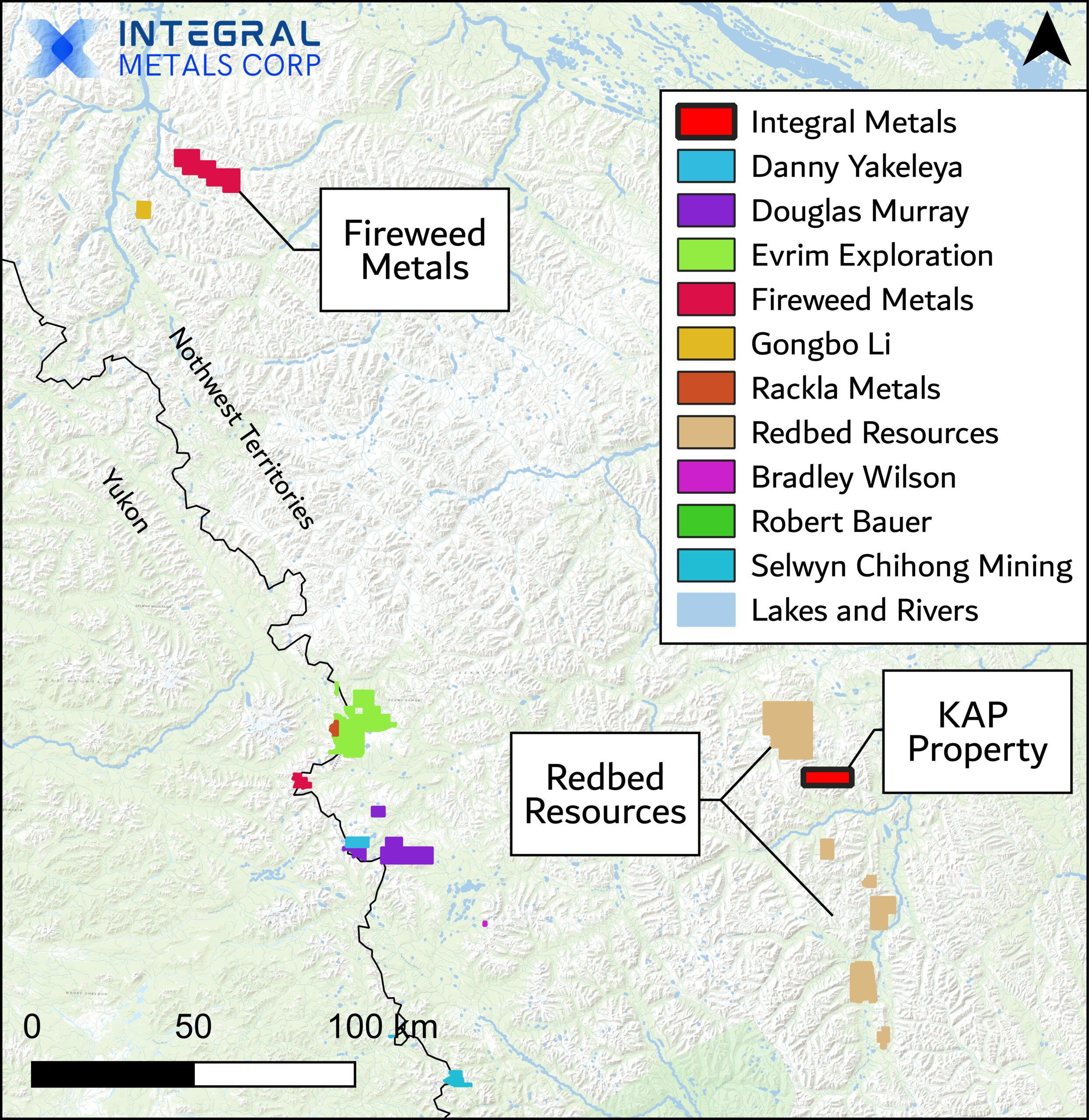
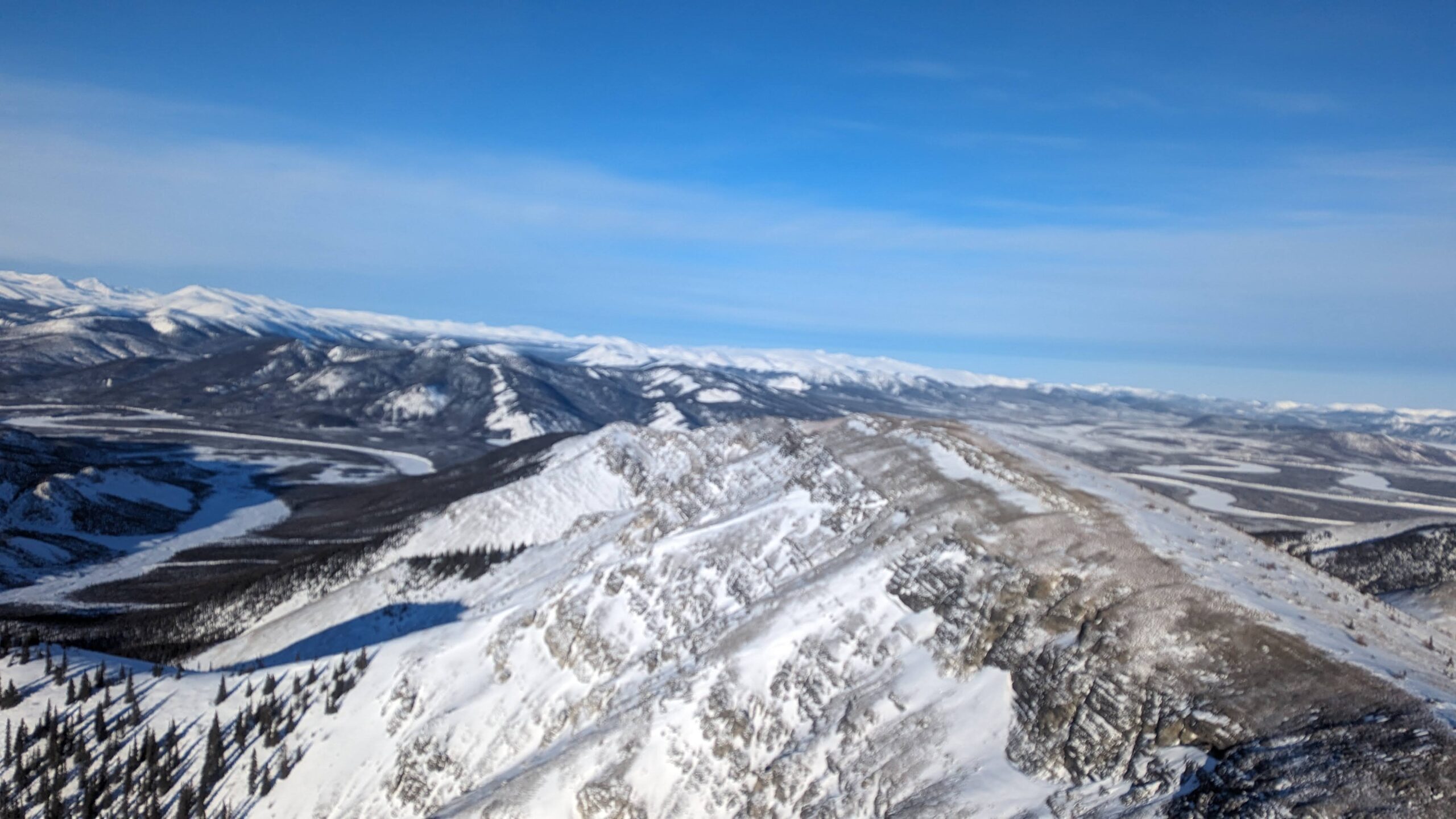
- Integral Metal’s KAP Property encompasses the entire mineralized southwest fold limb and hinge.
- Operators in the area are advancing projects at various stages of development, including prospecting and drilling activities.
- Redbed Resources Corp. is actively developing the Redstone project, with a Mineral Resource Estimate of 33.4 Mt @ 3.92% Cu and 11.3 g/t Ag.
- Fireweed Metals is preparing to perform up to 3,000 m of drilling on the Gayna project, hosting Zn and Pb, along with elevated concentrations of Ga and Ge.